SUMMER 2020: FESTIVAL SNEAK PREVIEW

thingtix.jpg

We’re getting to that point in Pacific Northwest’s winter when the gray seems never-ending and “summer” feels like a distant, foggy dream. But while we slug through the rest of this season, the summer months are getting closer and closer, and music festival tickets are going on sale soon!

Here are the top 5 music festivals we are MOST excited for this year:

  • The Thing! - August 28 - 30, 2020 Fort Worden, Port Townsend, WA

    • 2019 was the debut year for this new festival put on by the same people who brought us Sasquatch (rest in peace). The first year of the new festival was a fabulous time! Lineup hasn’t been announced yet BUT we can guarantee it will be solid. Tickets go on sale March 20th, 2020.

  • Watershed - July 31 - August 2, 2020 The Gorge Amphitheater, WA

    • Keith Urban is headlining this year’s Watershed (woohoo). Plus Kelsea Ballerini, Thomas Rhett, and a bunch of other incredible Country talent. If you like drinking beer, music, and incredible views: Watershed just might be for you.

  • Timber! Outdoor Music Festival - July 16 - 18, 2020, Carnation, WA

    • Yes yes and yes. We love Timber! and we don’t need a lineup to tell you that this year will be another awesome assortment of music and artistic talent. Not to be missed.

  • Pickathon - August 2 - 4, Happy Valley, OR

    • A little further of a trek than the other’s on our list, but worth it to experience the pinnacle of the essence of Portlandia. We adore Portland by the way.

  • Phish - July 17 - 19, 2020 The Gorge Amphitheater, WA

    • Phans at the Gorge. What more do we need to say… Camp, jam, and get your Phish on.

Who Said Summer is Over?!

adjIMG_8706.JPG

We noticed a lot of #goodbyesummer and #endofsummer posts this past weekend... just because #LaborDay is over, doesn't mean this gorgeous #PNW weather is leaving anytime soon! We'll let you in on a little secret: September is one of the BEST months to go camping in #PNWonderland. Think about it: less people, more campsites to choose from, still plenty of sunshine and warmth.... Get out there and soak it in! We're offering 50% off all #PeaceVansOutfitters rentals this September. Use code CAMPSEPT at checkout to redeem.


19 Perfect Hikes for Stretching Your Legs On Summer Road Trips

Photo by RRKW pulled from Washington Trails Association’s blog post.

Photo by RRKW pulled from Washington Trails Association’s blog post.

From the Washington Trails Association’s blog:

The long, lazy days of August are perfect for road tripping, and Washington is ideal for a leisurely summer drive. Whether you’re heading to the hills or ambling for the shoreline, long drives mean plenty of opportunities to get out, stretch your legs and maybe discover a new favorite trail along the way.

Skip the rest stops and instead opt for one of these easily-accessible roadside rambles the next time you’re touring the state.

Tips: 

Highway 20

PRESSENTIN PARK
Location: Highway 20 — west side
Distance: 2 miles, roundtrip
Elevation Gain: minimal
You don’t even have to leave Highway 20 to get to Pressentin Park in Marblemount. Break out the binoculars and scan the skies to find out how the park’s Birding Trail got its name. The park also includes a picnic shelter where you can enjoy some snacks before you head back on the road.

>> Plan your trip to Pressentin Park

RAINY LAKE
Location: Highway 20 — east side
Distance: 2 miles, roundtrip
Elevation Gain: 70 feet
The trailhead for Rainy Lake is conveniently located right off of Highway 20. Take in a healthy dose of nature on this paved and wheelchair-accessible trail to serene Rainy Lake. This hike is especially popular during the lovely larch season.

>> Plan your trip to Rainy Lake

I-5: Bellingham — Portland

EBEY WATERFRONT TRAIL
Location: Puget Sound and Islands — Seattle-Tacoma Area
Distance: 3.2 miles, roundtrip
Elevation Gain: 15 feet
Traffic tends to slow around Marysville, so it’s a great place to get off the interstate for a quick and easy hike on the Ebey Waterfront Trail. The paved trail will take you along the river where you can look for some local wildlife. Be on the lookout for hawks, herons and even bald eagles!

>> Plan your trip to the Ebey Waterfront Trail

MCCOLLUM PARK
Location: Puget Sound and Islands — Seattle-Tacoma Area
Distance: 1.2 miles, roundtrip
Elevation Gain: 40 feet
McCollum Park, also known as McCollum Pioneer Park, will give you the refreshing feel of the forest. This urban park in Snohomish County is great for restless kids and leashed dogs. If you’re looking to take an extra-long break, check out the Northwest Stream Center located in the park.

>> Plan your trip to McCollum Park

LAKE FENWICK PARK
Location: Puget Sound and Islands — Seattle-Tacoma Area
Distance: 2.18 miles, roundtrip
Elevation Gain: 300 feet
If it's been a hot ride in the car, you might be tempted to dig out your bathing suits at Lake Fenwick Park. You can take a hike, look for wildlife or take a dip at this 140-acre urban park.

>> Plan your trip to Lake Fenwick Park

TUMWATER FALLS PARK
Location: Olympic Peninsula — Olympia
Distance: 0.5 mile, roundtrip
Elevation Gain: 30 feet
Enjoy the relaxing sound of the Deschutes River and make your way past not one, not two, but THREE waterfalls along this short loop trail. Watch for fish and learn about the history of the area from interpretive signs along the way. There’s even a playground where restless kids can burn off some energy before getting back in the car.

>> Plan your trip to Tumwater Falls Park

SEMINARY HILL NATURAL AREA
Location: Southwest Washington — Lewis River Region
Distance: 4.5 miles, roundtrip
Elevation Gain: 320 feet
There are plenty of trails to explore at the Seminary Hill Nature Area in Centralia. Take a quick walk or stay for a while on the lush green trails. Whatever you choose, be sure to bring a map, available at the trailhead, to help you find your way.

>> Plan your trip to Seminary Hill Natural Area

LAKE SACAJAWEA
Location: Southwest Washington — Long Beach Area
Distance: 3.5 miles, roundtrip
Elevation Gain: minimal
Get out of your car and out of this world on the “Solar System Walk” along the west side of Lake Sacajawea. Learn about the moon and the solar system from plaques detailing each of the planetary bodies. You will also pass an enchanting Japanese garden and rhododendron garden as you make your way around the lake.

>> Plan your trip to Lake Sacajawea

I-90: Seattle — Spokane

ASAHEL CURTIS NATURE TRAIL
Location: Snoqualmie Region — Snoqualmie Pass
Distance: 0.5 mile, roundtrip
Elevation Gain: 180 feet
Named after one of Seattle’s preeminent photographers, the Asahel Curtis Nature Trail will take you through a picturesque piece of the wonderful Washington woods. Enjoy babbling streams, abundant plant life and towering trees without having to stray too far from your route.

>> Plan your trip to the Asahel Curtis Nature Trail

WILD HORSES MONUMENT
Location: Eastern Washington — Yakima 
Distance: 0.4 mile, roundtrip
Elevation Gain: 150 feet
Release your restless spirit from the confines of your car on this short and moderately steep trail. Don’t let the sign on the road fool you; the actual name of the art installation at the end of this trail is Grandfather Cuts Loose the Ponies. Cut yourself loose and feel as free as the ponies as you overlook the Columbia River from this unique hilltop.

>> Plan your trip to the Wild Horses Monument

GOOSE BUTTE
Location: Eastern Washington — Spokane Area/Coeur d'Alene
Distance: 6 miles, roundtrip
Elevation Gain: 450 feet
You don’t have to make it all the way to the end of the trail to enjoy Goose Butte. Take a walk to the historic rock house built in 1917, just enjoy a quick dose of prairie wandering. Keep in mind that this trail may be hard to follow.

>> Plan your trip to Goose Butte

Highway 14: Astoria — Maryhill

RIDGEFIELD NATIONAL WILDLIFE REFUGE
Location: Southwest Washington — Vancouver Area
Distance: 2 miles, roundtrip
Elevation Gain: 100 feet 
Open year-round and with many portions of trails ADA-accessible, this lovely nature area beckons with its multitude of birds and old-growth trees — including towering Oregon white oaks. The Kiwa Trail, which is home in winter to nesting waterfowl, is closed October through April to provide quiet for the birds.

>> Plan your trip to the Ridgefield National Wildlife Refuge

NORTH BONNEVILLE HERITAGE TRAILS
Location: Southwest Washington — Columbia River Gorge 
Distance: 12 miles, roundtrip
Elevation Gain: 20 feet
Take your pick of loop hikes from the downtown station area, and receive glimpses of both the lively neighborhoods in which the trails interweave and the wildlife that inhabits the natural areas. Interpretive signs and brochures offer insight into Native American life along the Columbia River in this area before the river was dammed.

>> Plan your trip to the North Bonneville Heritage Trails

COLUMBIA HILLS STATE PARK — CRAWFORD OAKS
Location: Southwest Washington -- Columbia River Gorge 
Distance: 4 miles, roundtrip
Elevation Gain: minimal
Crawford Oaks is a non-motorized, multi-use trail used by hikers, cyclists and horses. Luckily, there's plenty of grand vistas for everyone to share. This 4-mile out-and-back can be combined with other nearby trails at Columbia Hills State Park to turn a quick pitstop into a full day of rambling. 

>> Plan your trip to Columbia Hills State Park — Crawford Oaks

Highway 2: Seattle — Spokane

BYGONE BYWAYS INTERPRETIVE TRAIL
Location: Central Cascades — Stevens Pass - East
Distance: 1 mile, roundtrip
Elevation Gain: minimal
Following the original route of the Great Northern Railway, this flat, ADA-accessible trail stays mostly in forest as it skirts alongside Nason Creek. As the trail is only accessible from the westbound side of Highway 2, some planning may be required to enjoy this little loop.

>> Plan your trip to Bygone Byways Interpretive Trail

HORAN NATURAL AREA
Location: Central Washington — Wenatchee
Distance: 2.5 miles
Elevation Gain: minimal
Part of Wenatchee Confluence State Park, this natural area is named for the family who allowed Chelan County to acquire 100 acres of their pear orchard for the purpose of establishing a wetland preserve. There are 2 miles of graveled trail to explore in the 100-acre preserve, with posts established along the way for observing wildlife. 

>> Plan your trip to the Horan Natural Area

MOSES COULEE PRESERVE
Location: Central Washington — Grand Coulee 
Distance: 4 miles, roundtrip
Elevation Gain: minimal
A splendid coulee hike offering unlimited wandering potential. Be it long or be it short, the walk will provide unparalleled views of towering basalt cliffs. Bring water, especially during hot summer months. 

>> Plan your trip to Moses Coulee Preserve

I-182: Yakima — Walla Walla

CHAMNA NATURAL PRESERVE
Location: Central Washington — Tri-Cities
Distance: 3.8 miles, roundtrip
Elevation Gain: 30 feet
At only 276 acres, Chamna offers an impressive 11 miles of multi-use hiking trails along the Yakima River, and is home to an abundance of wildlife. Expect to see birds, deer, rabbits, porcupines, coyotes, beaver and maybe even river otters. 

>> Plan your trip to the Chamna Natural Preserve

I-195: Spokane — Pullman

STEPTOE BUTTE STATE PARK HERITAGE SITE
Location: Eastern Washington — Palouse and Blue Mountains
This detour is well worth the time. History, geology, mountain views and more can all be found at Steptoe Butte State Park Heritage Site. While you take a break at the summit, look to the skies to spot not only birds, but paragliders and hangliders too.

>> Plan your trip to Steptoe Butte State Park Heritage Site

Happy 103rd Birthday to the National Parks Service!

adjIMG_8951.JPG

In honor of the National Parks Service’s 103rd Birthday this Sunday (August 25th) all National and Washington State Parks will be open with admission fees waived! We can’t think of a better way to celebrate than to get outside and soak in all the beauty our regions parks have to offer…

Click here for a list of Washington’s National Parks
Click here for a list of Washington’s State Parks

How To Set Up Our Shade Structures!

A crucial add on to our Festival and Car Camping kits: shade structures provide much needed protection from sun (and rain!). The shade structures we primarily use are the Deep Creek Tarp from Big Agnes. While they are super spacious, and sturdy once set up, we’ve gotten feedback that they’re a bit challenging to figure out. We made this video to help guide you through the process, so you’re camping experience is as efficient and stress free as possible!

Washington Trails Association Is Seeking Volunteers

“Volunteer with WTA for a fun and rewarding way to give back to the places you love to hike. Trails across Washington need our help more than ever.” - Washington Trails Association

If you love the outdoors and want to experience a new way to engage with and preserve them, you might be the perfect fit to volunteer for the Washington Trails Association! They host day work parties as well as longer overnight opportunities to help out with trail maintenance. It’s a great way to soak in nature, work up a sweat, and meet some amazing new people who are passionate about the outdoors.

Read more about the Washington Trails Association’s volunteer opportunities here.

Wildfires in the PNW!

adjIMG_9051.JPG

The further we get into August, the warmer and drier our beloved forests become! As we approach the peak of wildfire season, planning a camping trip involves a little more awareness and forethought than usual. Stay informed with these super helpful resources:

Lay of the Land: 11 Essential Things to Know about Hiking in Washington

Posted by Loren Drummond at Jun 16, 2016 04:55 PM on Washington Trails Association’s website.

Filed under: Hike Planning, Hiking Etiquette & Safety

When my family first moved to Washington, we eagerly headed out in early June for our first summer backpacking trip. Only after dropping by a ranger station to check conditions did we learn that the trail we had chosen would still be covered in snow. Lots of it. The ranger patiently suggested a lower-elevation alternative, and we ended up having a great time.

We had decades of mountain experience under our belts, so why did we get the season so wrong?

One reason: having grown up in Colorado's higher and drier Rocky Mountains, I didn't know how to read the elevations or seasons in Washington's Cascades yet. When you are used to traveling alpine ridges above treeline at 11,000 feet, it is hard to grasp that you might get the same experience from a 6,000-foot elevation.

Hiking may be a passion you can take with you around the world, but places have their own quirks. Getting to know those quirks, getting a feel for seasons, for the rhythms of wildlife and weather, is part of the fun of learning a new hiking landscape.

Getting the lay of the land isn't something that happens overnight. It takes years, and if you're attuned to nuance, it is something that can span decades. However, there are a few key aspects about hiking here that will come in handy for new and new-to-Washington hikers.

1. WASHINGTON HAS MANY (VERY DIFFERENT) MOUNTAIN RANGES

The Olympics, the Cascades, the Selkirks, the Blues.

We are so lucky to play home to so many different major and minor mountain ranges (63 in all, according to USGS). But with that abundance comes a lot of variety: each of those ranges have their own thing going on, in terms of seasons, snow, weather and wildlife. The western ranges (the Olympics and Cascades) tend to be wetter, carry more snow and start their summer seasons later than their eastern counterparts. These are places where rainshadows matter, and can impact access and snow conditions drastically.

Tip: Get to know the many different mountain ranges, read trip reports from years (and decades) past, browse guidebooks, chat up local rangers when you visit, and look to the eastern ranges and east side of the Cascade crest for earlier season trips.

2. WEATHER CHANGES QUICKLY

One thing about the weather in the Northwest: it is never boring.

When ocean and mountains meet, you'll find it sunny one moment and rainy the next. It may be pouring in Seattle, and hot and sunny at Snoqualmie Pass. Your mid-summer day on trail may start out balmy, and then turn to hail, rain or wind. It could be 70 degrees in Everett, and 107 in Ephrata.

And some mountains (volcanoes) make their own weather. On a June hike in the Dark Divide last year, some colleagues and I hiked with clear views of Mount Adams all day. From a perfectly blue morning sky, it seemed to conjure an entire cloud cover as if from nowhere, gathering wisps into a thick, impenetrable cloud cloak that loomed ominously around the rest of the day.

Tip: Become a weather watcher, and go prepared for anything.

3. ELEVATIONS: HOW HIGH, AND WHY IT MATTERS

Elevations don't mean the same thing everywhere. But when you begin to learn what they mean here in Washington, you have a shorthand trick for what you might encounter on a trail, both in terms of great habitat and conditions.

In a typical Washington summer, snow can stick around at high elevations (5,000+ feet) forever well into late July. In winter, snow levels are reported by elevation, so finding great trails where you don't need to worry about snow is all about filtering your searches by elevation.

Tip: Pay attention to the elevation stats for the hikes you plan on hiking. What is the high point? How much gain will there be?


4. OUR SNOW AND ICE IS UNSTABLE

When lakes really freeze in places like Minnesota, they tend to freeze. That's not the case here in Washington. Because of our mercurial weather and proximity to the Pacific ocean, our frozen features -- lakes, snow, ice caves -- tend to be unstable. And when weather begins to warm in spring (which lasts through June), things get even worse.

For people who do hike or snowshoe across snow in winter and spring, these unstable conditions combine with steep terrain to pose extra hazards, ranging from slick icy trails to collapsing snow bridges to avalanche chutes.

Tip: Stay off of frozen lakes, stay out of ice caves and take an avalanche awareness course if you plan to travel across snow.

5. TRAILS CROSS MANY DIFFERENT PUBLIC LANDS, AND THOSE LANDS ARE MANAGED FOR DIFFERENT PURPOSES

We have a wealth of public lands in Washington, spanning federal, state, counties and cities. Different lands are managed by different agencies for different purposes, so one of the keys to finding your ideal hiking experience is understanding what lands you are best suited to your needs. 

Honestly, it can be confusing, but once you sort it all out, knowing your lands can be a kind of decoder ring for figuring out all kinds of things. For example:

  • Want to take your family camping with the security of a roof over your head? State Parks are where you'll find the most cabins and yurts for rent.

  • If you want to hike with dogs, you'll want to stick to National Forest, State Park or most local park trails, because National Parks prohibit dogs.

  • If you aren't comfortable hiking during hunting season, stick to National parks or State Parks, where hunting is largely prohibited.

  • If reliable wildlife watching is your thing, you'll want to seek out National Wildlife Refuges around the state.

  • Prefer not to share your trails with mountain bikes or motorized vehicles? Aim for National Parks or one of our 31 Wilderness areas.

Tip: When you research hikes, look for the land manager listed (under Map & Directions in our Hiking Guide) and start to pay attention to boundary lines on maps.

Tip: Different lands also require different passes. If you want the most coverage, a combination of an annual Discovery Pass ($30) for state lands and the America the Beautiful Interagency Pass ($80) for federal lands will cover you for the year. If that's too steep, there are any combination of day or annual passes, as well as many fee-free options or fee-free days.

6. ALMOST EVERY TIME OF YEAR IS HUNTING SEASON SOMEWHERE

Many of Washington's public lands are open to hunters and anglers, and it's up to hikers to take some steps to help ensure their own safety. August, September and October are the height of hunting seasons in Washington, but some seasons on some lands continue into winter and spring.

If hunting or hearing gunshots makes you uneasy, choose a hike in a location where hunting is not allowed, such as a National Park or a State Park.

Tip: Learn your lands, and what is allowed where (see #5) and begin to learn about hunting seasons. If you will be hiking during hunting seasons, take simple steps to stay safe

7. MAJOR (AND MINOR) ROADS OPEN AND CLOSE EVERY YEAR

A few key routes well-traveled by hikers in Washington are seasonal. The North Cascades Highway, Chinook Pass and Cayuse Pass all close in the winter. Once they are cleared of snow in spring (dates range), they open back up to vehicle traffic.

Other smaller roads may also close or be gated during winter. Artist Point closes because of snowfall, but becomes a popular winter snowshoeing route. Many Forest Service roads are closed and gated to vehicles as well. Their opening dates are also variable, depending on the winter and spring runoff damage. Some passes and roads (like those in Mount Rainier) require chains in the winter.

Tip: No matter where you are planning to hike, it is a good idea to check road conditions along your entire route before you head out. The best way to know if you can get where you are going is to check with Washington State Department of Transportation (who does a good job with their Twitter feed) and/or the land manager directly.

8. HIKING IS A WAY OF LIFE FOR MANY DIFFERENT PEOPLE

And has been for 10,000 years. From Washington's earliest residents to the many people who have shaped it in different ways over the years, our wild places have a long human history.

When you hit the trails, expect to see many different people exploring and using trails for many different reasons, from seeking solitude, foraging, creating amazing art or spending time with family. The trail community is a rich tapestry of people and hiking traditions. That makes our hiking way of life both great and ever-evolving.

Tip: Be a positive force for keeping the long trail culture of Washington inclusive for future generations. Help your fellow hikers, welcome new hikers to the fold, be a good steward for the trails, and lead by example.

9. TRAIL ETIQUETTE IS A THING

Like circle swimming laps in a lane, or not wandering onto a soccer field mid-match, there are a few basic rules that help trail users safely share the trails, and keep our wild places beautiful.

First and foremost, keep the trails better than you found them. Pack out all your trash, including things like orange peels and dog poop bags. Learn how to properly dispose of your own waste, if a bathroom isn't around.

When you pass other hikers, the hikers moving uphill have the right of way. If you're hiking downhill, step aside and let folks pass. We also share some of our trails with mountain bikes, livestock (like horses, llamas, and pack goats) and motorized vehicles. Learn the guidelines on who goes first, and the best way to step off of trail. If you hike with a dog (or dogs), keep your pups leashed, under control and yield to all other users.

Once you've mastered the basics, you can graduate to learning about choosing a backcountry campsite when others are around, how many people should be in a single hiking group, the best practices for flying a drone and more.

Tip: Learn the basic Leave No Trace principles and right of way rules, and put them into practice on every outing. When you're not sure what to do, just ask.


10. IT'S NOT ALL RAINFORESTS AND PEAKS

From the San Juan Islands to sagebrush and sunshine found in Coulee Country, Washington hiking is more than mountains or the famous Olympic Rainforest. Taking a hike can be as easy as finding a great city or county park with trails running through it. And some of those low elevation trails aren't just small nature walks, either. Rail trails can run for dozens of miles, and offer a very different hiking experiences.

Tip: Explore your local parks, search the hiking guide and sign up for our free email newsletters, Trail News and Families Go Hiking. Check our seasonal suggestions for tips about where to find a great hike, any time of year.

11. TRAILS AREN'T A GIVEN

We may have a bounty of public lands and trails that travel through them here in Washington. But as much as we may enjoy and use them, their existence is not a given.

Public lands are supported by public funding, and funding for trails has been slashed in the last 30 years. Even though more people are hitting the trails both close to town and deep in the backcountry, the public funding for those trails is nowhere near enough to sustain the trail maintenance, road repair and basic trailhead facilities (like parking, privies or trash removal) on that trail system. Even National Park entrance fees and passes like the Discover Pass or Northwest Forest Pass barely make a dent in the maintenance needs. Massive wildfire costs are also pulling resources away from basic maintenance.

But, the situation isn't all doom and gloom. Washington state is waking up to the economic benefits of public lands, and more and more trail users are speaking up for the places they love. Every year, thousands of volunteers help agencies by lending a hand to help repair trails.

Tip: Learn more about the state of funding for trails, and get involved in our Lost Trails Found campaign.

GIVEAWAY: A Weekend of Music, Camping, & Fun at The Thing! Music Festival!

thingtix copy.jpg

We are super excited to announce our latest giveaway: a weekend of camping & live music at The Thing! Festival in Port Townsend August 23-25! The giveaway ends at 11:59PM on July 31st and you can enter multiple times. One winner (for the two tickets, camping passes, and complete gear rental) will be drawn at random at the beginning of August. We wish you luck & things!

Zesting Up Our Spice Kits!

We are excited to announce the latest addition to our spice kits: Firefly Kitchens’ seasoning salts! Made with freeze dried kraut and kimchi, these salts are a fool proof way to season just about everything. The salts come in three flavors: Kimchi, Cortido, and Emerald City and all of them are equally delicious and different. Delicious with eggs, popcorn, roasted veggies, any kind of protein, these salts make cooking while camping simpler without sacrificing flavor. PLUS they’re made by an awesome local company! Firefly Kitchens is based in Ballard and makes a delicious assortment of fermented foods (yum yum yum).

A Class & A Giveaway: Unlock the Secrets to Great Camping in the PNW!

adjIMG_9113.JPG

We’re excited to announce that we’ll be teaching a class at The Works Seattle next Thursday (6/27) 6-7:30PM: Unlock The Secrets to Great Camping in the PNW! Whether you're a total newbie or an experienced camper that's new to town, this class is for you! Join us to explore every aspect of camping - from the gear you need, to tried and true camp hacks, to our favorite destinations, including where to camp when all of the state parks are already booked! We'll get hands-on with tent set-up, how to brew great coffee on the road, and how to pack like a pro. You'll leave ready for summer adventures!

PLUS in anticipation of the event we’re running a giveaway!!!! Two tickets to the class PLUS a full weekend of camping gear rental. To enter?

1. Like our most recent post on Instagram
2. Follow the @theworks.seattle + @peacevans on Instagram
3. Tag a friend that you want to camp with this summer - every comment counts as an additional entry so get to it!

**** This giveaway is in no way endorsed or sponsored by Instagram. Giveaway only applies to people located in the Seattle area and you must be 18 years or older to be entered. Winners will be announced via DM on 6/21 at 10am PST.

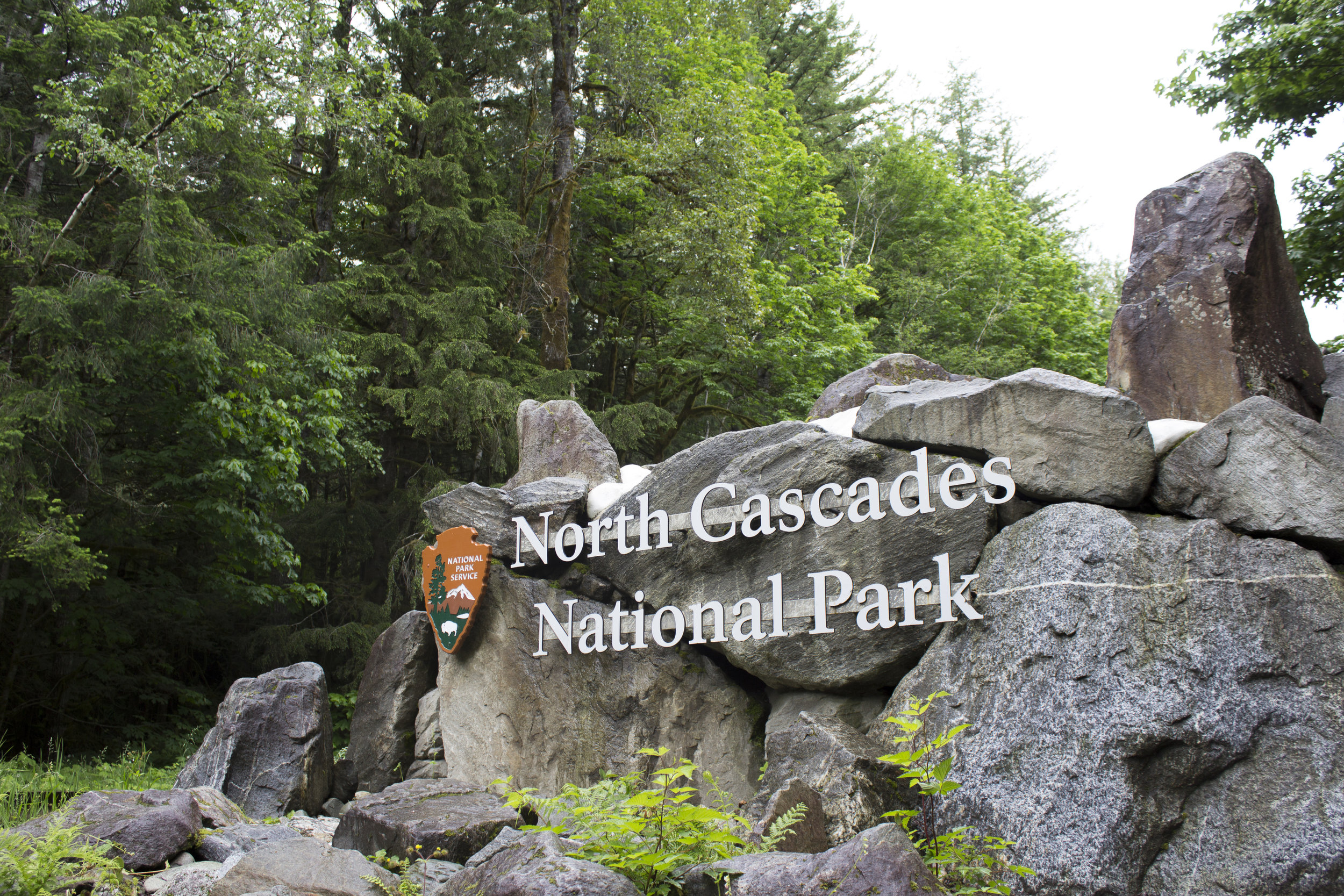
North Cascades Photography - Hike to Stehekin

2576-basin-creek-footbridge-north-cascades-national-park-1200x800.jpg

This blog post was originally published on the Cascade Loop’s website:

North Cascades Photography - Hike to Stehekin

Andy Porter Photography | 05/22/2019 | Camping, Hiking, Lake Chelan Valley, National Parks, Forests & Recreation Areas, North Cascades, Scenic View Points

The hike from the Skagit Valley up and over Cascade Pass and down along the river to the remote village of Stehekin, on the northern shore of Lake Chelan is a magnificent journey. Sort of like crossing the Misty Mountains to get to Rivendell, there is a lot to see!

It is a 23 mile (37 km) hike from the Cascade Pass parking lot to High Bridge, where shuttle service is available to Stehekin. The entire trip falls within the North Cascades National Park.Depending upon your level of motivation the basic trip can be done in 2 or 3 days.

However I would recommend 3 or 4 days for the trip. There are several detours along the way that are really to incredible to miss.

The journey starts along the Cascade Loop in Marblemount. The North Cascades National Park Wilderness Information Center is located there. To camp anywhere in the park you need a permit. Here is all you need to know to obtain one! I highly recommend the trail guide: "Hiking the North Cascades" by Erik Molvar (Falcon Press). There are accurate and detailed descriptions of the trails and you'll find a lot of useful info.

Once that's all done you'll be heading up the Cascade River Road to its end, at the parking lot for Cascade Pass. The road gets a bit sketchy at the end, and you won’t be able to stop gawking at the views!

The trip has one up section, and this is it: 3.7 miles of switch backs to Cascade Pass, an elevation gain of 1,700 feet. The views start near the top, there is one last switchback and then the trail turns east and approaches the pass.

The Pass is a great place for a break, and you'll see a lot of people there. From this spot, its all downhill to Stehekin!

Dropping from Cascade Pass the trail navigates around the upper basin and soon passes the Pelton Basin campground. It’s not long before the switchbacks start. Whereas the trail up to the pass from the Skagit side is completely in forest, here the trail is exposed to the hot sun.

One nice surprise is the waterfall along Doubtful Creek as it bisects the trail on the east side of Cascade Pass, where there are small pools providing a much needed break and swim.

Many people who make the sojourn from Cascade Pass to Lake Chelan make a straight trip from the Cascade Pass parking area to Stehekin, with no side trips. But there is one of the most awesome valleys in all the North Cascades (Horseshoe Basin) that you should not pass up as you make your journey.

A short distance from Doubtful Creek is the trail to Horseshoe Basin. You can drop your big packs and day hike up to the Basin, or, if you scored a camp site at Basin Creek Camp, you can stay an extra day exploring Horseshoe Basin and the Black Warrior Mine.

The trail follows the stream up from the trail junction into Horseshoe Basin; it follows a course along the stream, across the stream and in the stream, brushy and wet. Shortly the trail emerges into a clearing where boulders dot the basin floor. Climbing up on the largest, the view is transfixing. The green bowl is surrounded with grandeur, full of color and drama.

The Horseshoe Basin trail is less than 2 easy miles from the trail junction to the head of the valley and the Mine. 

The North Cascades are full of old mining claims; piles of colorful tailings and rusted remains of sluices and Pelton wheels littered about. But I had never visited a mine that I could enter and explore. The Black Warrior Mine operated until the mid-1950′s and is a National Historic Place. There is a sign at the entrance giving a brief history of the mine, the names of the prospectors and misled investors who poured their mostly futile efforts into this hole. There are two main cavernous rooms blasted into the mountain side which make the opening of the mine. One of these “rooms” served as a kitchen while the other was used for workbenches and tools. Wooden supports and floor boards are flooded with water. Old tables and remains of habitation litter the floor. The shaft of the mine runs deep; several miles of tunnel remain, open for any brave person to explore.

When you tire of the basin and continue on your way down the Stehekin Valley you'll pass several camp sites: Cottonwood Camp was once the last stop on the bus route from Stehekin! Traveling is pretty easy, for the most part you are following along the road following the bus route to Stehekin. But the road has been washed away in several places, replaced by a foot trail.

At Park Creek is another camp and the trail (Park Creek Trail) heads up to Park Creek Pass and continues over and down to Colonial Creek camp, on Highway 20.

Bridge Creek is another large camp along your route and is where you meet the Pacific Crest Trail. From here its 5 miles to High Bridge. Many years ago the entire road washed away in a flood. So for the next 5 miles you'll be hiking along the PCT!

IF you have the time and energy, plan another day here and make a day trip up the North Fork of Bridge Creek. Its too long to describe here and will be the subject of an entire post soon!

Walking along the Stehekin River Road is in itself fantastic. The river cuts a deep cleft through the cliffs at High Bridge and the confluence with Bridge Creek creates a wondrous series of cataracts and islands. From High Bridge there is a regular bus that takes you the last 10 miles to Stehekin. Check the Park Service site for the bus schedule.

Your hike must include a visit to the Stehekin Pastry Company. Delicious, fresh treats, ice cream, espresso, friendly staff and a comfortable place to relax…

Everything about Stehekin is awesome. Its remoteness (you can only reach it by hiking, ferry boat or float plane), the people are cool, scads of awesome things to see and do...even the Post Office is a neat place to just visit!

Beside the Pastry Company there is a restaurant, a lodge, and a post office. Thru hikers on the PCT mail resupply items to themselves at Stehekin. Its the last stop on the route to Canada. Late in the summer you will often run into some of the PCT hikers as they finish the last few days of their 2,400 mile trek!

When you're done restin' and ready to go home you can either walk back the way you came, or catch the Lady of the Lake to Chelan!


Getting Fired Up About Campfire Safety!

Wildfire Season and Campfire Safety
From the Washington Trails Association’s Article

Wildfire season in Washington typically peaks in July, August and September -- just when hikers and campers head out to enjoy the outdoors. Burn bans, poor air quality, hazy views and a forecast of hot weather all have the potential to impact hikers and campers when wildfires are burning.

Learn how to prevent wildfires and how to check the status on trails before you hike while fires are burning.

Safe to hike? If you ever have a question about hiking in a region with an active wildfire, contact or visit a ranger station.

BURN BANS IN EFFECT?
Before you head out camping or backpacking, check fire danger levels and make sure there are no burn bans in effect.

Check to see where burn bans might be in effect on state lands.

Check burn bans by county

FIREWORKS BANNED ON PUBLIC LANDS
Let the night stars or wildflowers be your firework displays. It is illegal to set off fireworks on public lands, so when you hike or camp, leave the fireworks at home.

FIRE PREVENTION, A BACKCOUNTRY REFRESHER
If you're in the backcountry, and especially during high-risk times, it's best to avoid having a campfire altogether. Oftentimes campfires are prohibited above a certain elevation or near certain bodies of water.

If you must have a backcountry fire, follow the Leave No Trace principles:

Make sure to check and follow all regulations. In some areas, regulations change depending on the season because of fire danger.

Use only established fire rings, keep your campfire small and never leave a fire unattended.

Use small pieces of wood gathered only from the ground and never break branches or cut down trees for a campfire.

Once a campfire is completely out, cool to touch, and all the wood turned to coal, then scatter the cool ashes.

For more info check out: Leave No Trace's Minimize Campfire Impacts.

CAMPFIRE SAFETY: IF IT'S TOO HOT TO TOUCH, IT'S TOO HOT TO LEAVE
If you are in an area without a burn ban, make sure your campfire is built and put out responsibly. (Adapted from guidelines from the Gifford Pinchot and Mt. Hood national forests Fire Staff):

1: BUILDING A FIRE

  • Make sure a campfire is allowed. Check to see if there is a burn ban in your county.

  • Use existing fire-rings where it is safe to do so. Don’t build fire-rings in roads.

  • Make sure there are no overhanging tree branches near the fire.

  • If needed, scoop a small hole to mineral soil in the center of the pit. Set this material aside, and replace it in the ring when the fire is totally out before leaving the area.

  • Place rocks if available around pit. When finished, put rocks back where they were found.

  • Keep campfire rings small and use wood no bigger than the ring.

2: ENJOYING A FIRE

  • Never leave a campfire unattended.

  • Keep tents and other burnable materials away from the fire.

3: PUTTING IT OUT

  • Fires can often creep along the ground, slowly burning roots and dead leaves. Days later, the smoldering fire could break out into a real wildfire.

  • When leaving, make sure your fire is dead out. Very carefully feel all sticks and charred remains. Feel the coals and ashes. Make sure no roots are smoldering.

  • Drown the campfire with water and stir charred material.

  • If it's warm to touch, it's too hot to leave.

MORE WILDFIRE RESOURCES

Camping & Live Music: Five Festivals We Can't Freakin' Wait For

The breathtaking view from Watershed. Source: Sounds Like Nashville

The breathtaking view from Watershed. Source: Sounds Like Nashville

Festival Season is upon us! In our opinion there is no better way to enjoy live music than outdoors, and no summer is complete without at least one festival camping excursion. Here are five festivals this summer where we can’t wait to set up camp:

  • Timber! Outdoor Music Festival - July 11 - 13, Carnation, WA

    • Convenience is key with Timber!… While Carnation is only a 40 minute drive from the Peace Van Outfitters HQ, it feels like a world away! Timber! is one of the Pacific Northwest’s smaller festivals with a lineup chock full of awesome Indie acts. Absolutely worth seeing: Kuinka - Seattle based quartet playing upbeat folk pop AKA perfect music for dancing in a field of flowers

  • Summer Meltdown - August 1 - 4, Darrington, WA

    • Just go watch the video on Summer Meltdown’s Facebook Page and try to tell us it doesn’t look freaking awesome.

  • The Thing! - August 24 - 25, Port Townsend, WA

    • The founder of Sasquatch (yes we’re still sad about it) is back with a brand new festival debuting this August. The Thing! is not to be missed purely based on the lineup. Huge names like De La Soul, The Violent Femmes, Iron & Wine, and Tank & the Bangas plus some talented newcomers like Orville Peck. We have a feeling The Thing! is going to be a big thing… stay tuned for more updates on a forthcoming giveaway :)

  • Watershed - August 2 - 4, The Gorge, WA

    • We don’t know much about country, and we’re not going to pretend we do, but there’s something magical about listening to country music in one of the world’s most beautiful outdoor music venues. Any show at the Gorge is guaranteed to be an incredible time.

  • Pickathon - August 2 - 4, Happy Valley, OR

    • A little further of a trek than the other’s on our list, but worth it to experience the pinnacle of the essence of Portlandia. We adore Portland by the way.

Weekend Camping Destinations

This streak of beautiful weather has us scheming up some weekend camping trips. Here are a couple resources to get you in the planning mindset:

Just don’t forget to reserve a site and a Standard Camping Package!

Beta Testing: Peace Vans Outfitters Has Officially Launched!

Our very first beta tester Darrien is excited to get on the road & into the woods!

Our very first beta tester Darrien is excited to get on the road & into the woods!

We’re super excited to announce that Peace Vans Outfitters has now officially launched! Our very first beta tester came to pick up this morning for a weekend camping trip to Leavenworth. Darrien will test out our Standard Camping Package and give us feedback on the gear & overall rental experience. And with her car loaded and on the road, we can now officially say: Peace Vans Outfitters has launched!

Coffee Coffee Coffee!

3.jpg

One thing you should know about Peace Vans: we take our coffee VERY seriously. Integral to our culture and productivity, coffee breaks are a common occurrence in the Peace Vans family. As we’ve been building our rental kits for this upcoming season, we were baffled as to how to translate our passion for amazing coffee in to a lightweight, minimalist package for our backpacking kits… sending you off with a french press and a bag of beans isn’t exactly efficient. Luckily, Swift Cup Coffee had our answer: speciality instant coffee that doesn’t compromise flavor. We’re excited to be including packets of Swift Cup’s Mainstay Blend in every backpacking kit so you can stay caffeinated on the trail.

Whales and Wonderful Views!

The Lighthouse at Lime Kiln Point! Photo from Washington State Parks.

The Lighthouse at Lime Kiln Point! Photo from Washington State Parks.

Love whale watching? So do we. If you’re planning a visit to San Juan Island, don’t miss out on one of the best places to view whales from land in the world: Lime Kiln Point State Park. Picnic areas, hiking trails, and breathtaking views make Lime Kiln Point a must visit for any trip to SJI.

Gearing Up for Summer!

Given the recent spate of awful winter weather in Seattle, this past weekend’s sunshine was a wonderful and welcome treat! Drunk off of sunlight and the briney aromas of Elliot Bay, we couldn’t stop ourselves from dreaming about summer. Swimming in the Sound, camping trips to the Olympics and the Oregon Coast, concerts at the Gorge, Timber Music Festival, hiking in the North Cascades… we have no doubt that this summer will be unforgettable.

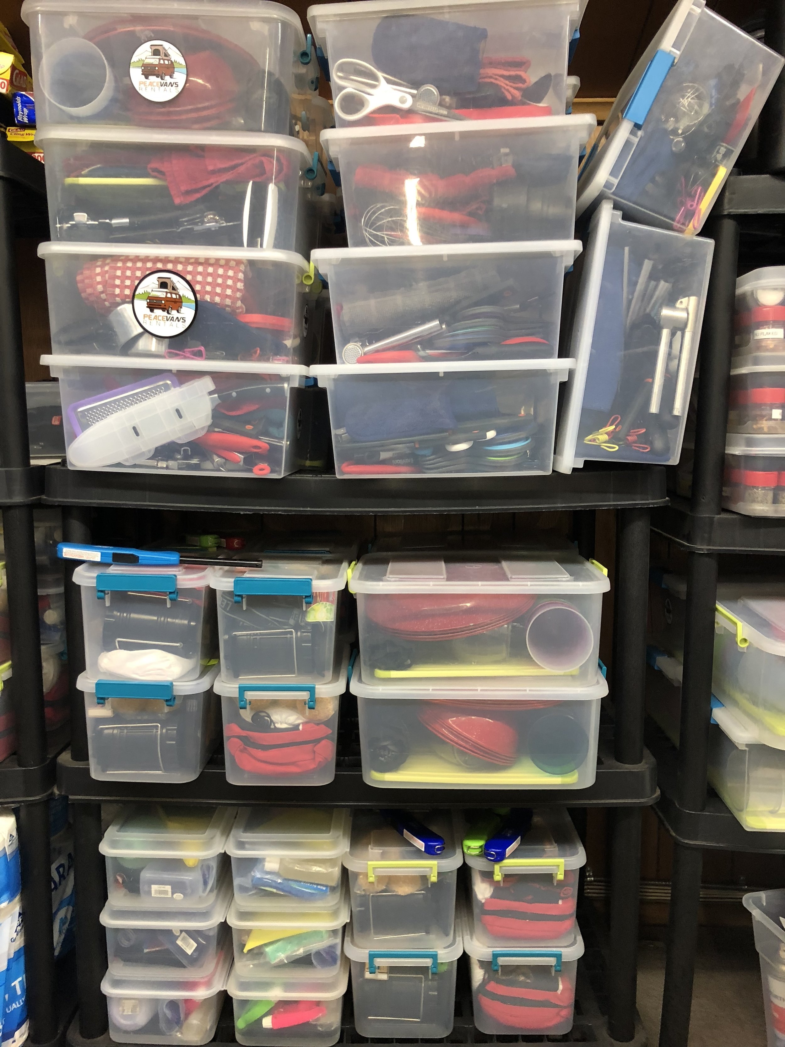
Now that it’s Monday and the sky is gray again, we’re digging into the gear closet and using our lingering sun high as fuel for organizing a big upcoming gear order! While we pore over spreadsheets and slog through GSI product codes, we’ll be doing it with summer on our minds.